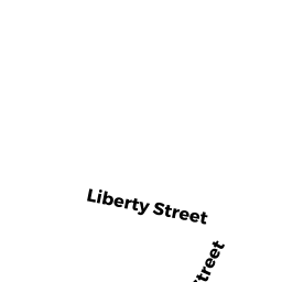
386 LIBERTY ST
Owner Information
WRIGHT EDWARD E ETUX
386 LIBERTY ST
HAVERHILL, MA 01832


Property Details
386 LIBERTY ST is classified as a Single Family Residential (Colonial).
The primary structure on this property was built in 1995. There are 2,916ft2 of built area within this property. There is 2,916ft2 of residential/living space within this property. This property is listed as having 7 rooms.
386 LIBERTY ST is valued at $458,700. The land is valued at $186,700 and the structures are valued at $272,000.
The most recent deed for 386 LIBERTY ST is recorded at the local registrar in Book 24836, Page 529. 386 LIBERTY ST was last sold on Friday, September 16, 2005 for $435,000.
Assessment data from fiscal year 2022.
Flood Data
According to the FEMA National Flood Hazard Layer, this property does not appear to be in a flood zone. It may also be in an area not yet reviewed. Nonetheless, confirm this information prior to taking any action.
To view the flood hazards around this property, create a FEMA "Firmette" Map of the area around 386 LIBERTY ST.
Broadband Internet Providers
| Provider | Type | Bandwidth (mbps) | |
|---|---|---|---|
| Comcast | Cable | 1000 | 35 |
| Verizon New England Inc. | DSL | 5 | 0 |
| T-Mobile | Fixed Wireless | 25 | 3 |
| GCI Communication Corp. | Satellite | 0 | 0 |
| HughesNet | Satellite | 25 | 3 |
| VSAT Systems, LLC. | Satellite | 2 | 1 |
| Viasat Inc | Satellite | 100 | 3 |
Broadband service provider data from December 2020.
Adjacent Properties
- 388 LIBERTY ST
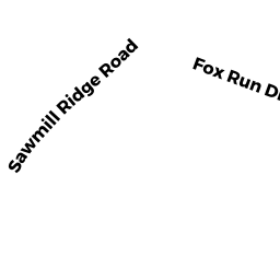
Single Family Residential owned by ROUSSEAU DAVID - 6 SAWMILL RIDGE RD
Single Family Residential owned by MAGUIRE ROBERT W ETUX - 8 FOX RUN DR
Single Family Residential owned by LUCAS JAMES E JR., ETUX - 10 FOX RUN DR
Single Family Residential owned by KRASOVEC SCOTT D ETUX - 382 LIBERTY ST
Single Family Residential owned by FENDERSON KEVIN J ETUX